Surveying systems, GNSS, laser scanning and advanced mapping solutions — with the professional service and local support of C.S.S. Precise Systems.
C.S.S Precise Systems is the exclusive representative of STONEX in Israel, as well as an official distributor in several countries worldwide, including Europe, South Africa, Ghana, and more. As a market leader in surveying, mapping, and geodesy, we provide state-of-the-art GNSS solutions, laser scanners, total stations, rugged controllers, and advanced GIS systems. STONEX equipment is renowned for its high precision, proven reliability, seamless integration with leading surveying software, and full local support provided by C.S.S.
Official representation
Local support
Advanced surveying solutions
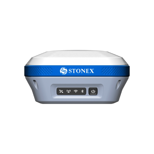
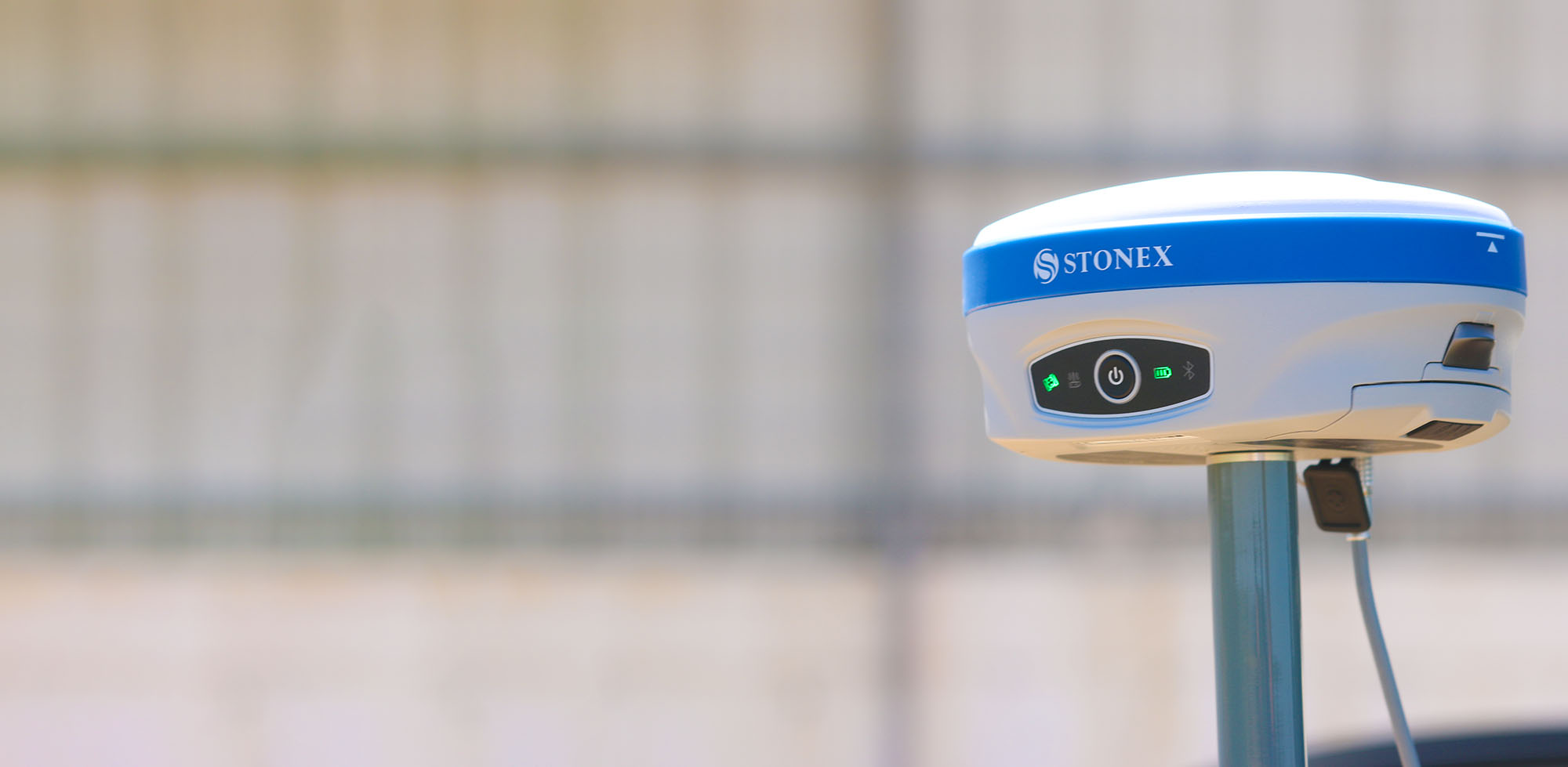
STONEX receivers deliver stable performance, excellent signal reception in challenging conditions, fast initialization, and centimeter-level accuracy across any RTK network. They support all constellations, include advanced IMU sensors, and are fully ruggedized for field operations.
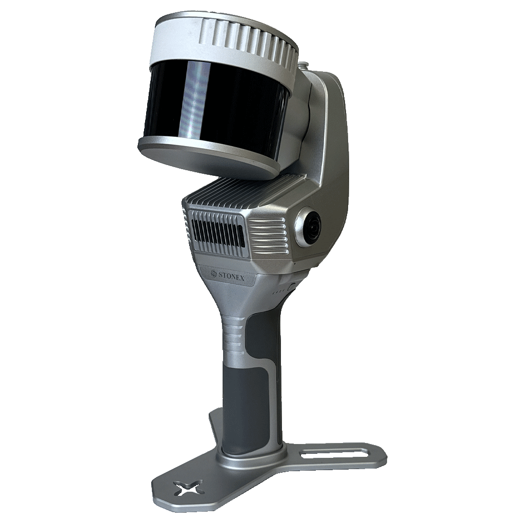
A broad range of 3D scanning solutions for indoor and outdoor environments, supporting SLAM mapping, structural documentation, tunnel and infrastructure surveys, and architectural projects.
High-performance handheld laser scanner.
Fast and accurate SLAM solution.
Compact scanners for small-to-medium sites.
Static high-accuracy laser scanner.
Professional SLAM scanner for complex survey environments.
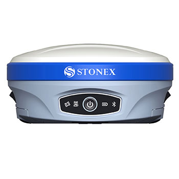
The C.S.S GPS/GNSS systems provide advanced surveying solutions based on precise satellite technologies, designed for engineers, surveyors, and infrastructure professionals requiring true centimeter-level accuracy in the field. We offer a wide range of professional receivers – from compact models for everyday work to advanced systems with IMU, integrated sensors, and full PPK and RTK functionality. Each model is built for extreme environments, ensuring continuous, fast, and reliable operation for development, construction, route surveying, GIS mapping, and complex infrastructure applications.
Stonex S900+ / S990 / S850
Leading series delivering high performance and full centimeter precision.
S599
Lightweight receiver with integrated camera, advanced IMU, and exceptional accuracy.
Full software integration, professional support, and CAD/GIS compatibility ensure a stable, seamless work experience for every field requirement.
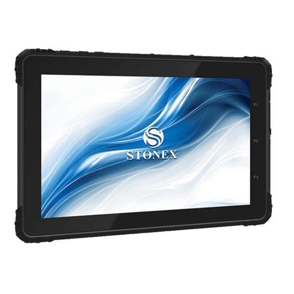
Powerful controllers for daily field operations in construction and infrastructure environments, featuring sunlight-readable displays, high durability, and full compatibility with leading surveying software.
Lightweight and easy-to-operate handheld controller.
Rugged tablet with a large display and high-accuracy GIS capabilities.
Extra-strong rugged tablet for tough field conditions.
Advanced controller solutions from Carlson.
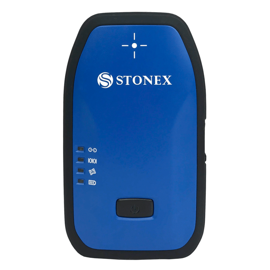
Rugged and precise GIS units designed for data collection in infrastructure, environmental surveys, water and electricity networks and urban planning.
S599 / S590 / S580+
Lightweight high-accuracy GIS receivers for professional field data collection.
S631
Advanced GIS antenna designed for precise acquisition of GIS layers and spatial data.
S80G Tablet RTK GNSS
A powerful RTK tablet featuring an 8-inch sunlight-readable display, high-precision positioning in all field conditions, BT/WiFi/4G connectivity and support for external radio modules. Ideal for advanced RTK surveying applications.
S55G Controller RTK GNSS
A rugged lightweight RTK controller with tactile physical keys, a 5.5-inch display and full BT/WiFi/4G connectivity. A reliable solution for demanding fieldwork and real-time GNSS operations.
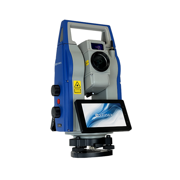
High-precision, reliable, and fast surveying instruments designed for engineering, construction, and civil infrastructure applications.
Manual total stations with high-accuracy optics.
Fully robotic total station for single-operator workflows.
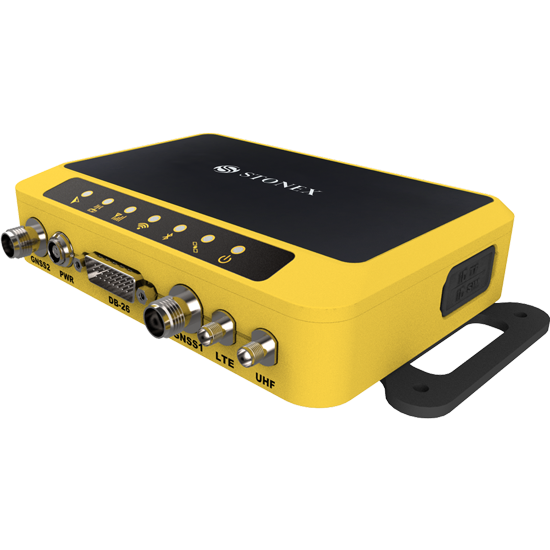
Complementary solutions for specialized projects – including Choke Ring antennas, full CORS systems, and GNSS boards for manufacturers and enterprise clients.
Complete GNSS system for establishing permanent base stations.
High-precision antennas with advanced multipath filtering.
Advanced GNSS boards for industrial integration.
Full support for the STONEX ecosystem and for leading surveying software.
The official STONEX surveying software.
Processing of laser point clouds.
Advanced photogrammetry.
Also supports SurvPC, Carlson, Civil 3D, TBC and more.
When choosing surveying, mapping, and GIS equipment, accuracy, reliability, and peace of mind are critical factors that directly impact project success. STONEX equipment, combined with the professional expertise, service, and support of C.S.S Precise Systems, provides a complete solution that gives surveyors, contractors, engineering firms, and authorities a clear competitive advantage.
As the official distributor of STONEX in Israel and other countries, C.S.S guarantees direct access to the most advanced generation of GNSS receivers, total stations, laser scanners, and SLAM sensors. Each product is built on proven technology, European engineering excellence, and full workflow compatibility – from field data collection to final processing in CAD, GIS and leading engineering platforms.
We support thousands of professionals – surveyors, infrastructure companies, contractors, urban mapping teams, government bodies, water and electricity utilities, research institutions, architectural and engineering firms – providing them with equipment that performs for years, in the toughest conditions and at maximum accuracy.
Hands-on experience in the surveying market and deep familiarity with the needs of field professionals.
Professional guidance and local service throughout the product life cycle.
Full service coverage and high availability.
Field training, software updates and workflow adaptation.
Hardware and software integration tailored to special requirements.
End-to-end professional support for complex projects.
Choosing C.S.S and STONEX means choosing professionalism, reliability, and peace of mind – with field-proven instruments that deliver results you can trust. We are here to give you a true operational edge, save time and money, and ensure every task – big or small – is executed with the precision that professionals demand.
Our professional team is here to match the right surveying solution to your needs, your site and your workflow.