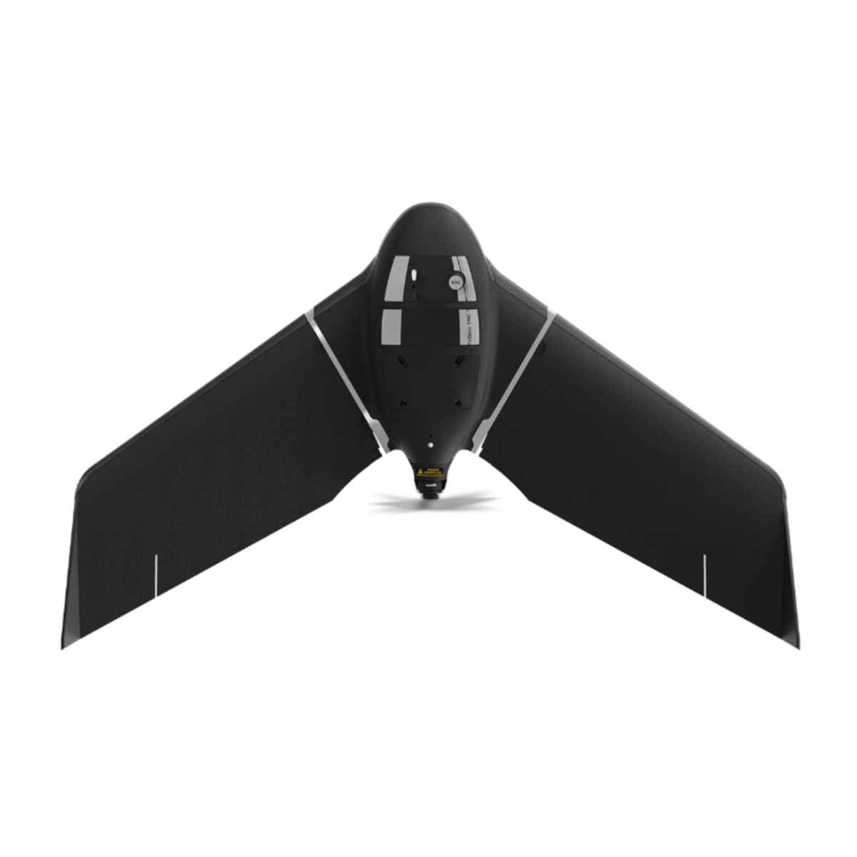
eBee TAC Public Safety is an advanced drone designed for real-time aerial intelligence in emergency, security, and public safety operations. Ready for deployment in just 3 minutes and operated by a single user, it delivers accurate 2D, 3D, and thermal data over large and hard-to-reach areas. With up to 90 minutes of flight time and the ability to cover up to 500 hectares in a single mission, it provides critical situational awareness when every second matters.
Built with high-level cybersecurity, including AES-256 encrypted communication and secure data storage, the eBee TAC ensures reliable and protected operations. It offers mapping accuracy down to 1.5 cm with RTK/PPK, supports a wide range of interchangeable cameras, and meets advanced regulatory standards such as Remote ID, C2, and C6. Approved for operations over people in the U.S. and Canada, it is a powerful, efficient, and trusted solution for professionals operating in complex and demanding environments.
Advanced surveying and scanning solutions for every project — talk to an expert and we will build the right solution together.
Request a quote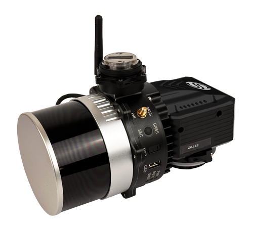 3D scanners XFLY Lidar Solution
XFLY series integrates high performance Inertial Navigation System with camera and LiDAR for point…
3D scanners XFLY Lidar Solution
XFLY series integrates high performance Inertial Navigation System with camera and LiDAR for point…
 Drones eBee X
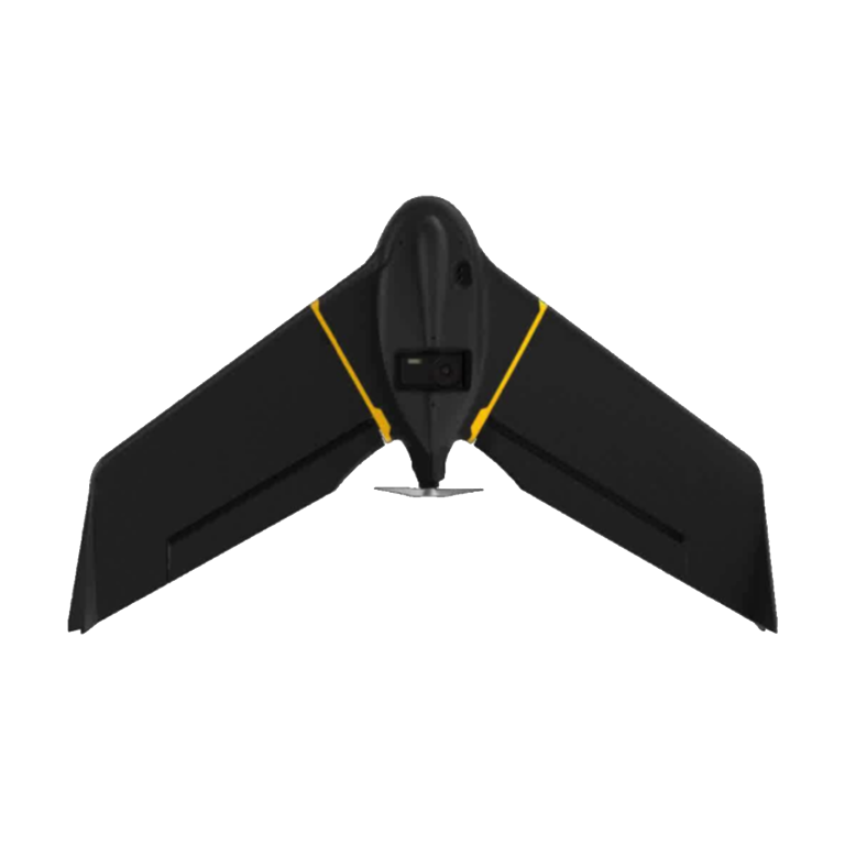
Capture more while reducing field time and costs Affordable fixed-wing drone designed to meet…
Drones eBee X
Capture more while reducing field time and costs Affordable fixed-wing drone designed to meet…
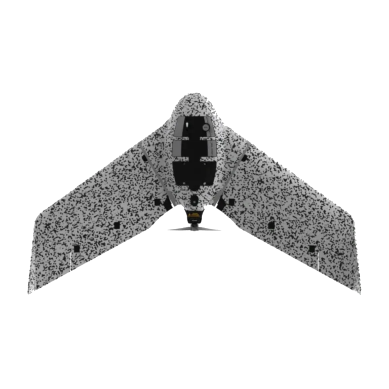 Drones eBee-tac
Cyber-secure governmental and tactical mapping drone Perform in disconnected environments to act precisely. eBee…
Drones eBee-tac
Cyber-secure governmental and tactical mapping drone Perform in disconnected environments to act precisely. eBee…
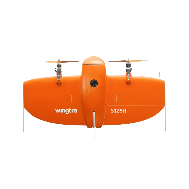 Drones WingtraOne
The WingtraOne mapping drone’s unique set of features empowers you to minimize your time…
Drones WingtraOne
The WingtraOne mapping drone’s unique set of features empowers you to minimize your time…