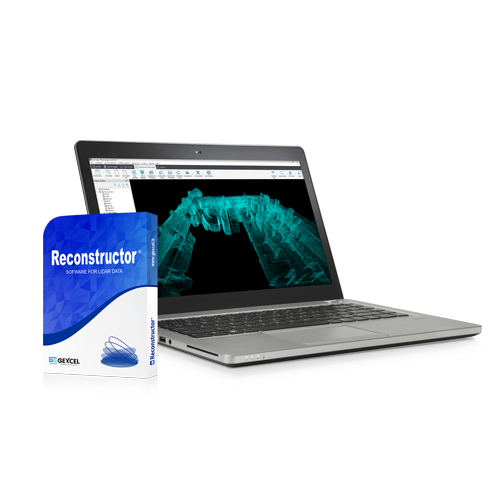
A multi-sensor, multi-resolution software used worldwide to manage 3D point clouds and images acquired from a wide range of LiDAR and imaging platforms.
Key features:
- Processing of point clouds and raw data from multiple laser scanners (terrestrial, handheld, mobile and airborne)
- Integration of UAV point cloud models and photogrammetric surveys
- Automatic target-less registration of 3D scans captured with different instruments
- Colorization of point clouds with RGB images from high-resolution cameras
- Mesh model generation – calculation of volumes, surfaces, profiles and contour lines
- Direct export of outputs and formats to leading third-party software (e.g. ReCap Pro)