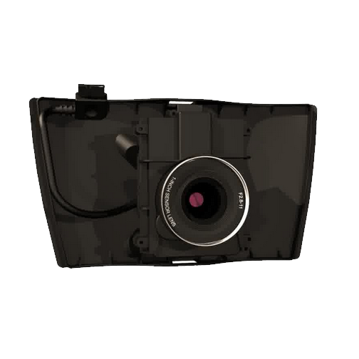
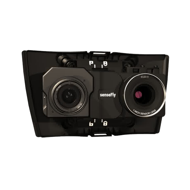
senseFly Corridor is an integrated solution combining the senseFly S.O.D.A. camera with eMotion software, making corridor mapping easier. Thanks to its camera positioning, senseFly Corridor requires 30% fewer images to map the same linear route, which means 30% shorter processing times.
Advanced surveying and scanning solutions for every project — talk to an expert and we will build the right solution together.
Request a quote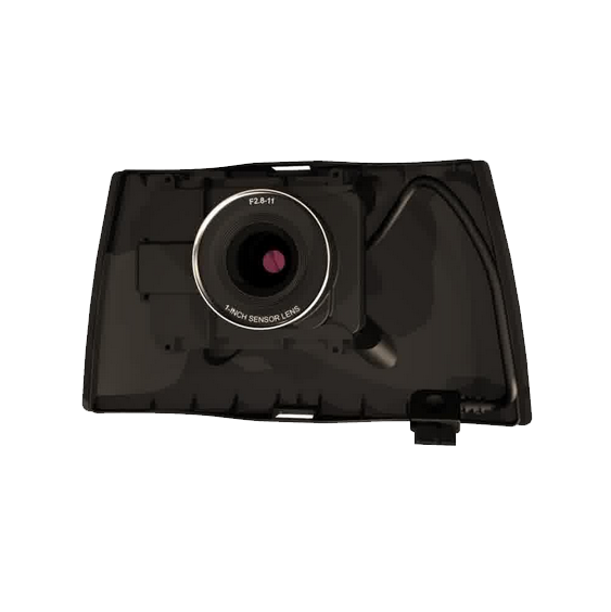 Cameras senseFly S.O.D.A
The senseFly S.O.D.A. is the first photogrammetry camera built for professional drone use, and…
Cameras senseFly S.O.D.A
The senseFly S.O.D.A. is the first photogrammetry camera built for professional drone use, and…
 Cameras senseFly S.O.D.A. 3D Mapping Camera
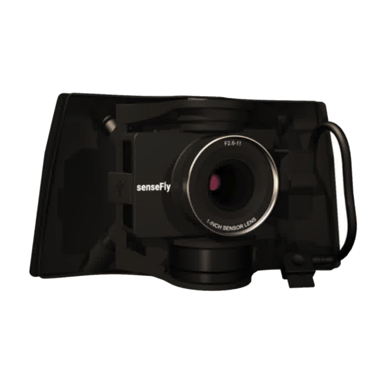
The senseFly S.O.D.A. 3D mapping camera is a unique innovation: a professional airborne photogrammetry…
Cameras senseFly S.O.D.A. 3D Mapping Camera
The senseFly S.O.D.A. 3D mapping camera is a unique innovation: a professional airborne photogrammetry…
 Cameras senseFly Duet M
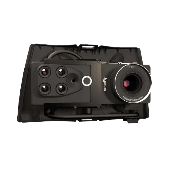
The senseFly Duet M is an innovative dual-purpose RGB mapping camera rig. It can…
Cameras senseFly Duet M
The senseFly Duet M is an innovative dual-purpose RGB mapping camera rig. It can…
 Cameras senseFly Duet T Thermal Mapping Camera
The senseFly Duet T is a dual camera rig that provides two capture modes:…
Cameras senseFly Duet T Thermal Mapping Camera
The senseFly Duet T is a dual camera rig that provides two capture modes:…